Smart City Surveillance Platform
Sovereign AI, Urban IoT Integration, Universal Regulatory Agility
Cities generate surveillance data at a scale and sensitivity that demands absolute autonomy. Okiff Reflex puts urban AI intelligence entirely within your jurisdiction—combining localized processing with Sovereign Data Control in a unified operational platform that scales from a single district to a metropolitan network, engineered to comply with any regional data and security regulations by default.
< 10ms
AI detection latency at the edge
0 bytes
Raw footage transmitted externally
100%
Offline operational continuity
Why smart city surveillance requires sovereign AI infrastructure.
Municipalities face a unique combination of scale, sensitivity, and public accountability that disqualifies cloud-dependent surveillance architectures.
 → Citizens are not enterprise clients. Video footage of public spaces contains biometric-adjacent data on individuals who have not consented to surveillance and who have legal rights over how that data is stored, processed, and retained. Cloud-based AI processing creates legal exposure that no data processing agreement can fully resolve.
 → Multi-agency data governance. Urban security operations involve police, transport authorities, emergency services, and municipal managers — each with different access rights and different legal frameworks governing their use of surveillance data. A single-pool cloud VMS cannot enforce this governance architecture.
 → Real-time response requirements. Traffic management, crowd density events, and public safety incidents require AI detection that operates in seconds — not the multi-second round-trips of cloud inference.
 → Operational continuity. City infrastructure must function during network disruptions, including those caused by the incidents it is designed to manage.
Okiff Reflex: the sovereign AI layer for urban operations centres
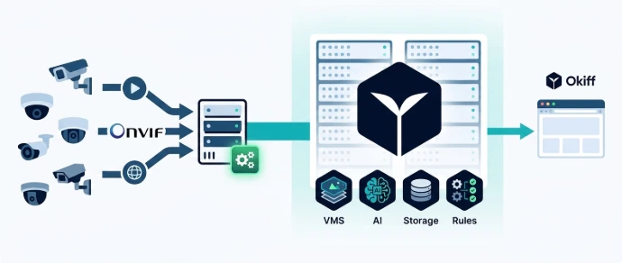
 Deploy at the PoP or data hall
Okiff Reflex deploys across urban camera networks as a distributed edge infrastructure — each node processing footage locally, each zone retaining its data under its governing authority's jurisdiction.
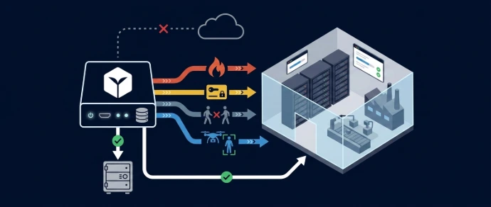
 Object Counting & Crowd Analytics
Real-time people counting and crowd density monitoring at plazas, transit hubs, and event spaces. Configurable alert thresholds trigger graduated response protocols.
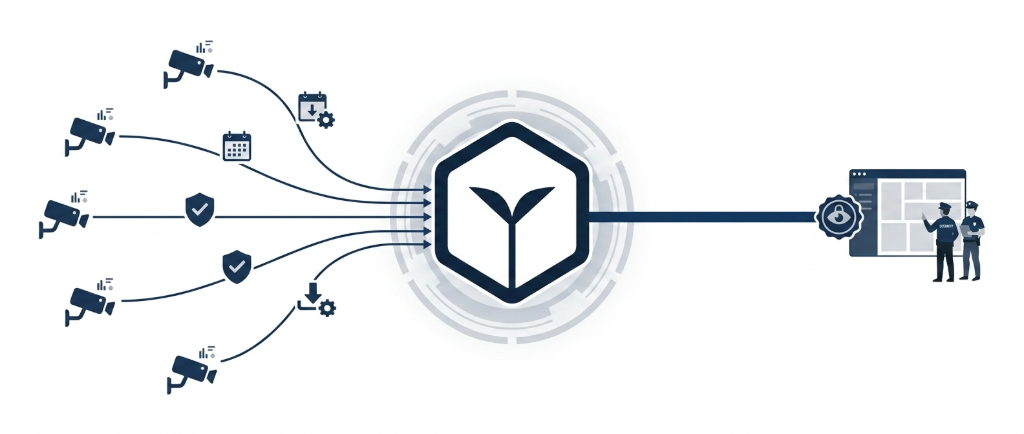
 Cross-Zone Tracking (MTMC)
Track individuals or vehicles of interest across the entire urban camera network — maintaining identity continuity across neighborhood boundaries, transit stops, and district lines.
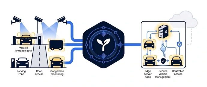
 LPR / ANPR at scale
Automated plate recognition across all vehicle access points, parking zones, and congestion areas. ANPR data remains on-jurisdiction edge nodes — not transmitted to a central national database.
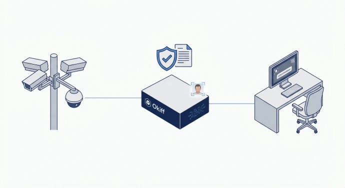
 Face Recognition for public safety
Identification of persons of interest at key public locations — governed by configurable legal thresholds and operator authorization requirements, with a complete audit trail of every query.
What are Okiff's key capabilities?

Object counting & crowd analytics
Real-time crowd density and people flow monitoring at public spaces
Cross-zone tracking (MTMC)
City-wide person or vehicle tracking across distributed camera networks
LPR / ANPR urban traffic
Plate recognition at traffic entry points, congestion zones, and parking areas
Fire & smoke detection
AI-powered urban fire detection at public facilities and open spaces

Smart Map — city-scale
Interactive GIS map with real-time AI alert geo-location across the entire urban network
Digital Twins (Roadmap 2027)
3D city model integration for incident command situational awareness

Abandoned object detection
Unattended item detection in transit hubs, plazas, and public buildings

AI video description
Semantic indexing of all footage for post-incident investigation without manual review

Violence & disorder detection
Real-time crowd disorder and physical confrontation detection
Urban IoT integration
Environmental sensors (air quality, noise, traffic flow) via LoRa / Zigbee / BLE 5.0

Multi-agency RBAC
Each agency accesses only its authorised camera zones and alert types

Drone fleet integration
Real-time drone feed ingestion for major public events and emergency response
City intelligence beyond cameras.
Okiff Reflex integrates the full urban sensor stack alongside its video intelligence layer:
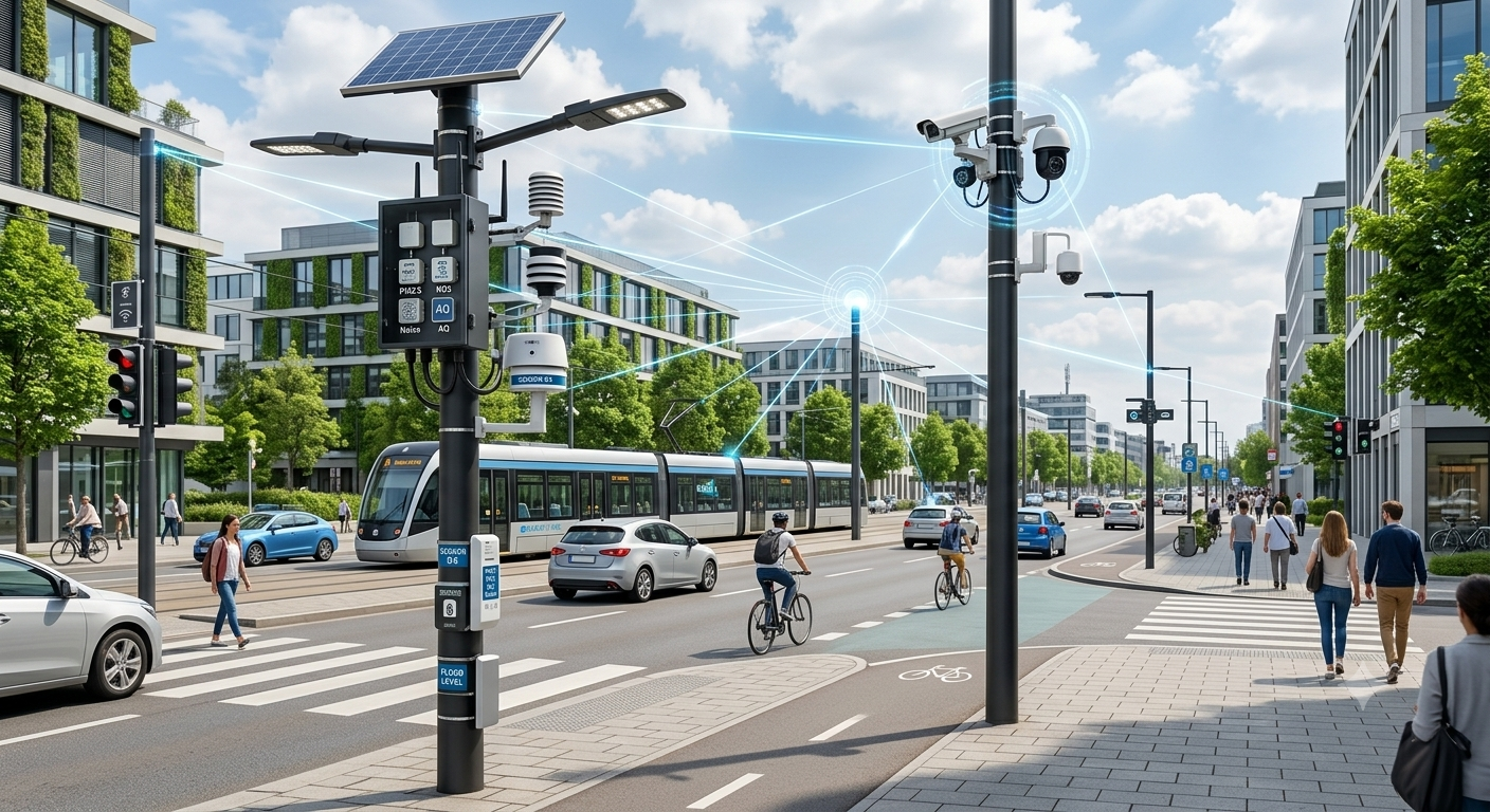
Traffic & environment
LoRa / Zigbee sensors for traffic flow, noise levels, air quality, and flood detection — correlated with camera AI events in the Rules & Events engine
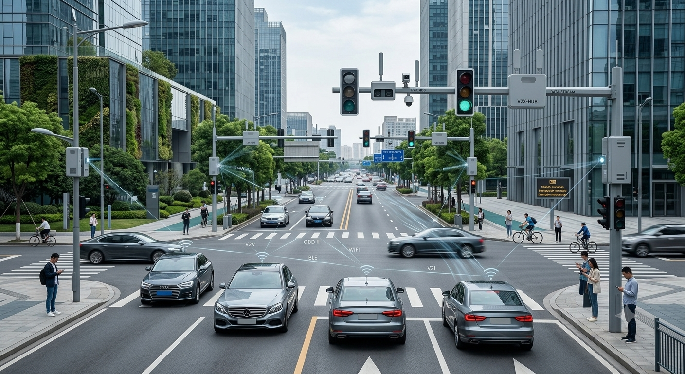
Vehicle intelligence
OBD / BLE / WIFI for connected vehicle management at smart intersections.
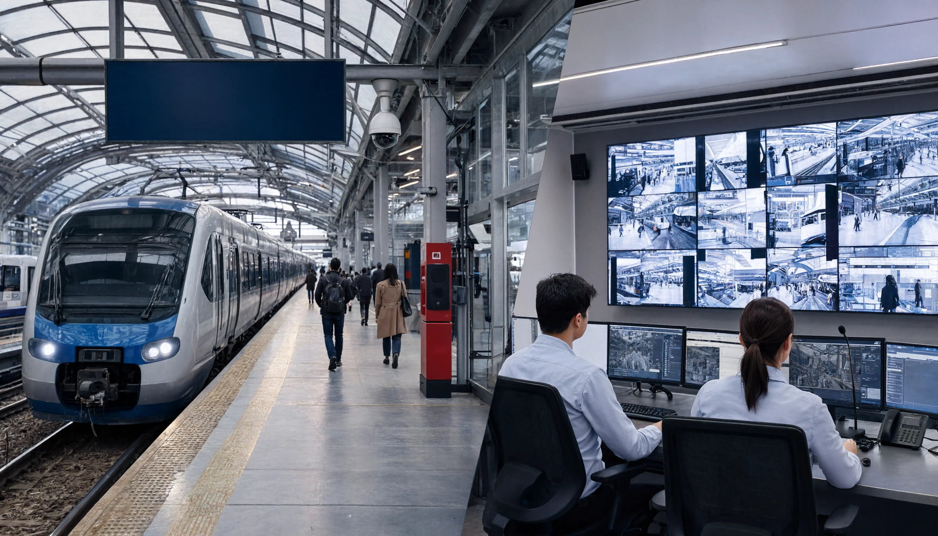
Public transport
SIP and TOA protocol integration with PA and emergency broadcast systems at transit hubs
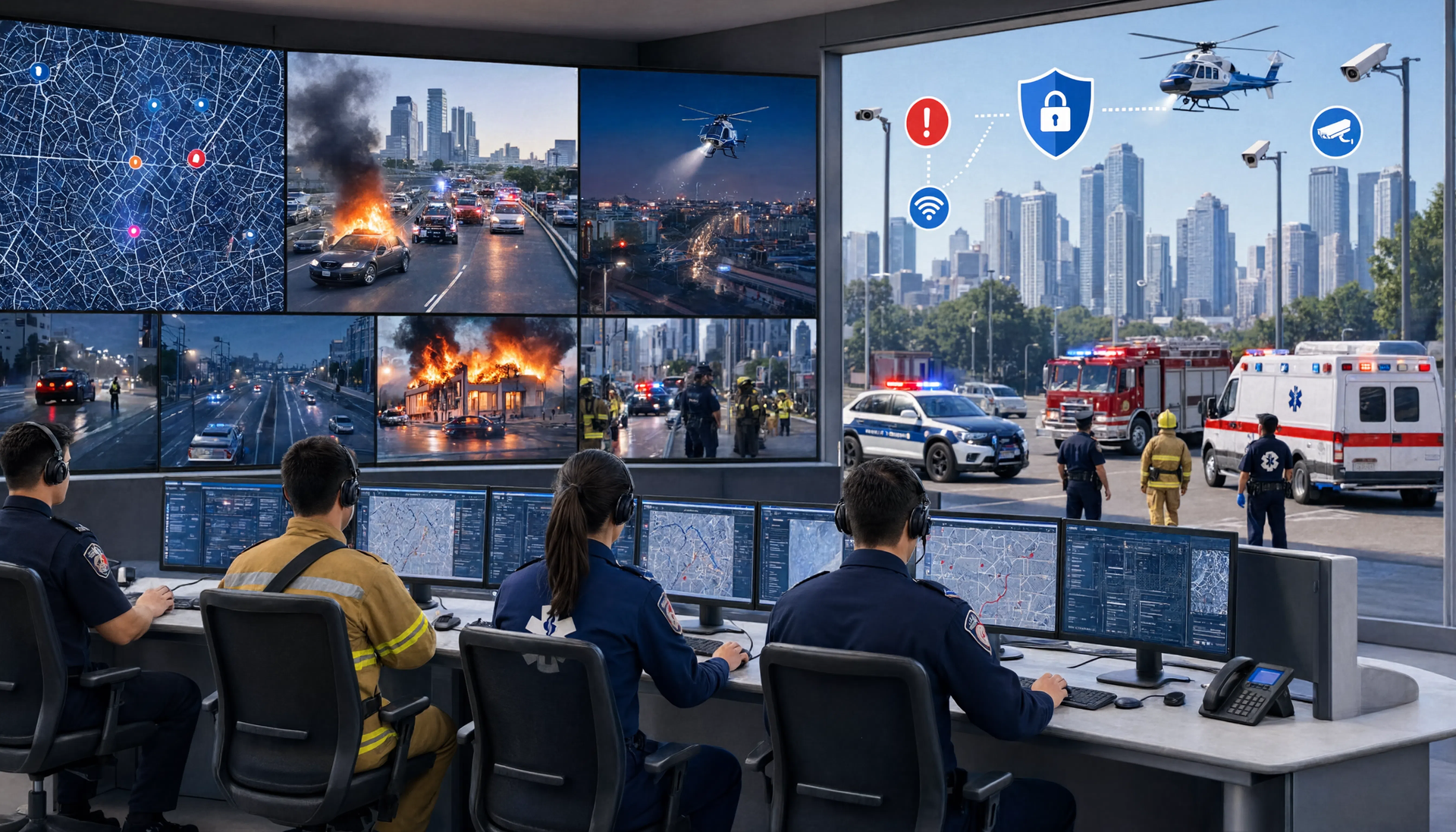
Emergency response coordination
REST API and Webhooks connect Okiff Reflex alert events to CAD (Computer-Aided Dispatch) systems and multi-agency incident management platforms
Use Cases
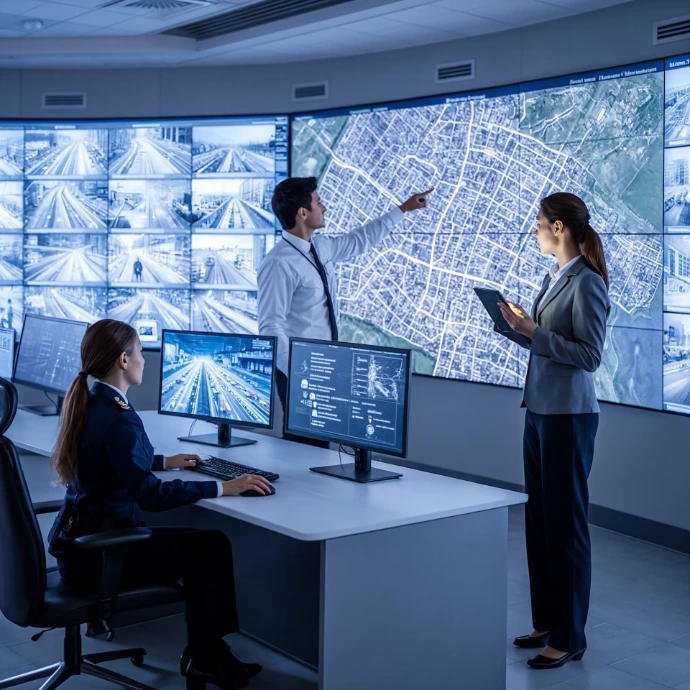
Metropolitan Control Room (City of 500,000)
A major city deploys Okiff Reflex across 2,000 cameras in the city centre and transit network. Each district zone processes footage on local edge nodes governed by the district authority's data retention policy. The metropolitan operations centre receives real-time AI alert telemetry and Smart Map visualization. Police, transport, and municipal operators each access only their authorised zones.
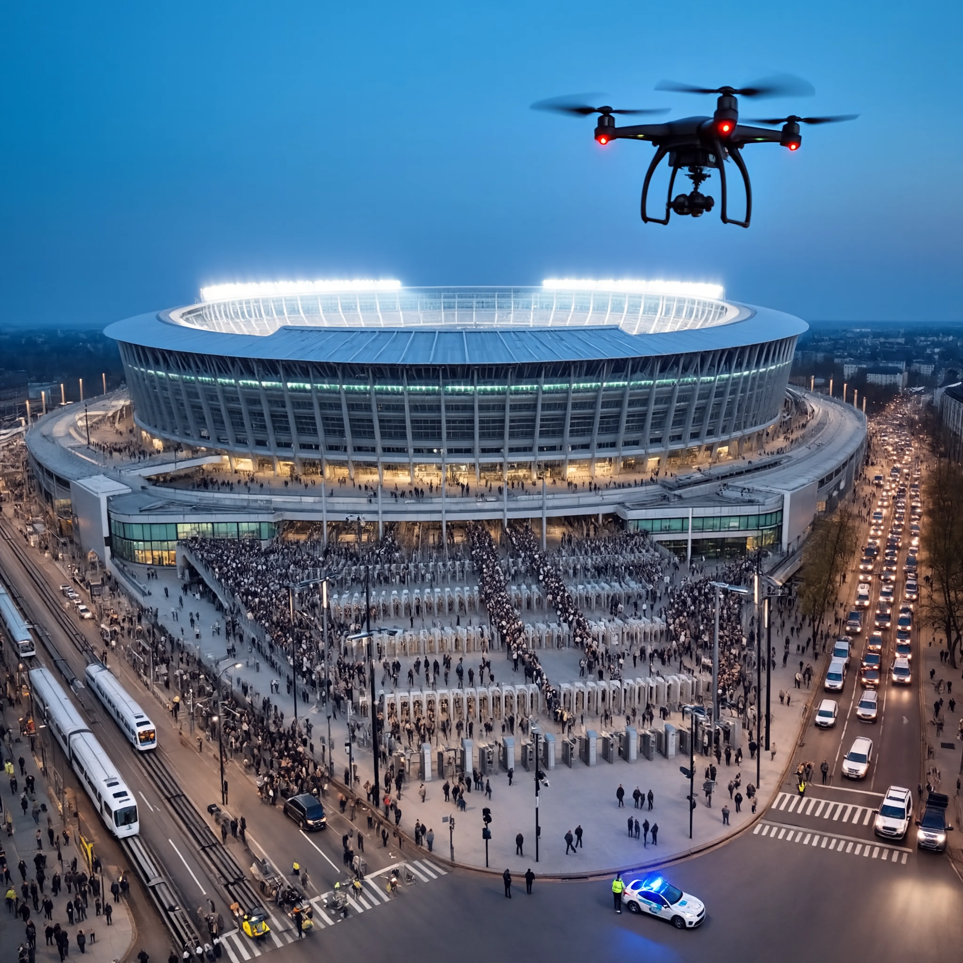
Public Event Security (Stadium + Surrounding District)
An 80,000-capacity stadium event requires coordinated surveillance across the venue and surrounding 2km radius. Drone feeds provide aerial situational awareness. Object Counting monitors crowd density at all entry points. Cross-Zone Tracking follows any identified person of interest from the transit hub to the stadium gate.
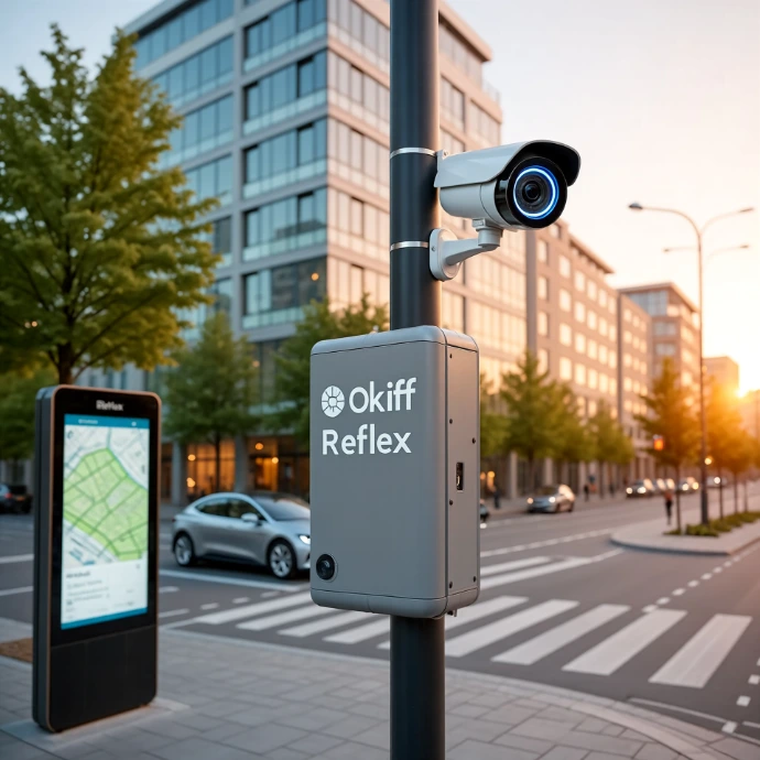
Smart District Pilot (Municipal Testbed):
A city launches a smart district pilot covering a 6-block area with mixed uses. Okiff Reflex deploys on edge nodes at each intersection. Traffic flow analytics, noise monitoring, and LPR data are aggregated in the district operations dashboard. Privacy-first face blurring is applied to all stored footage of residential areas. Evidence is accessible to the municipal authority and police under separate RBAC profiles.
FAQ
How does Okiff Reflex ensure global data and security compliance in public space surveillance?
All footage is processed and stored on-premise on hardware within the municipal authority's jurisdiction to guarantee total data sovereignty. Configurable retention policies enforce deletion timelines. Face recognition requires explicit operator authorization with full audit trail logging.
Can different city agencies share the same platform with separate access rights?
Yes. Multi-agency RBAC allows police, transport, municipal managers, and emergency services to access only their authorised zones and alert types — with complete separation of access logs per agency.
Does Okiff Reflex support drone integration for public events?
Yes. Drone streams are ingested via RTSP and vendor SDKs. AI detection applies to drone feeds in real time, processed locally."
How does Cross-Zone Tracking work across a city-scale camera network?
MTMC maintains identity continuity for tracked individuals or vehicles across all cameras without transmitting footage between nodes — all correlation runs locally.
Can Okiff Reflex integrate with emergency dispatch (CAD) systems?
Yes. Rules & Events dispatches structured alert webhooks to REST API endpoints including CAD platforms, with event type, geo-location, camera reference, and severity."
Urban intelligence that stays within your city limits.
Join us and make your company a better place.